
MTT. Minnesota Tournament Trail
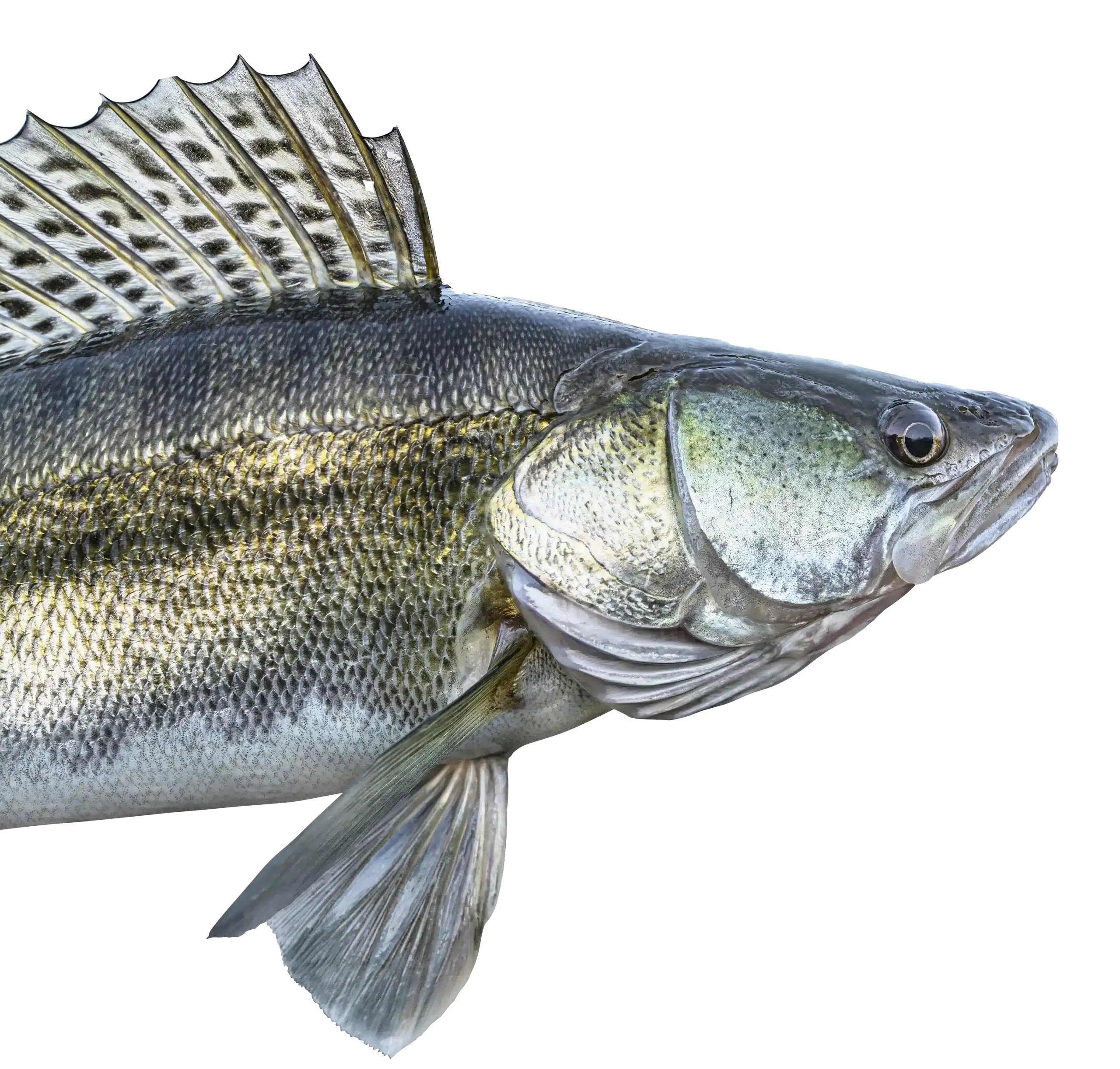
NWT. National Walleye Tour
AIM. Angler’s Insight Marketing
Chili Bowl, Border View Lodge
Arnesen’s, Summer Tournament
River Bend Resort, Ladies tournament
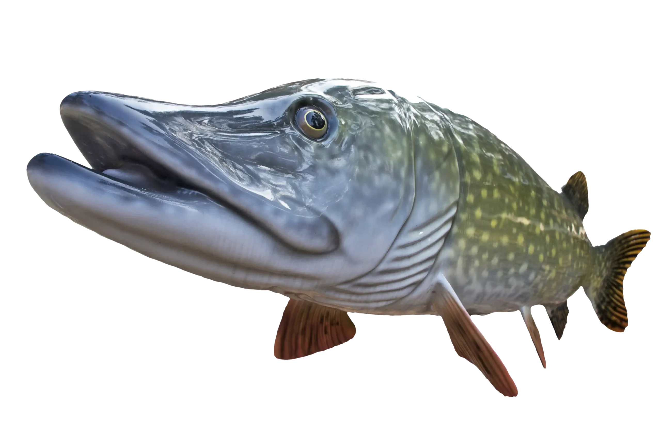
Zippel Bay Resort, Northern Pike Tournament
AND MORE!
One of the very common navigation routes used by anglers up at Lake of the Woods is traveling from the mouth of the Rainy River through Four Mile Bay to Lake of the Woods through the Lighthouse Gap. It is important to be aware and use caution along this route. That means knowing and understanding a few basic principles of boating and navigation to navigate safely along this route.
First off, to navigate safely, there are a number of tools used in navigation that if used in unison, can greatly increase safety. Using just one tool is dangerous because if it fails or isn’t accurate, there is risk. Common navigation tools are…
Using a GPS is very helpful to successfully navigate, especially with a chip in it that adds detail to the map. Please know navigation using a GPS can be off due to lost signal, map chips being 
Another tip, make sure to zoom in enough to be able to see details but not too close that you cannot see on your map where your vessel is headed.
These can be visual markers on the water or adjacent to the water aiding in navigation. Again, these are helpful but only one tool in navigation, such as the case in the Lighthouse Gap. Imagine if you use red and green buoys on the water as your sole source of navigation and a storm blew them away from the correct spot of placement. The results could result in an accident.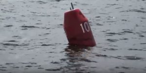
As a rule, when boating through red and green buoys, remember the saying, red right return. What this means is when you are navigating, you want the red buoy on your right side and the green buoy on your left side.
This is also helpful if there is only one color buoy in an area. Remember red right return, meaning if you are returning to harbor, the red needs to be on your right.
The rule is then reversed when headed out to the lake or away from port. When headed out, have the red buoys on your left, the green on your right.
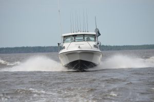
Pay attention to where other boats are safely navigating. It doesn’t necessarily mean they are in the right area, but again, it can be a good clue to assist in the overall assessment while navigating.
Slower speeds allow boaters to have more time to assess situations and react if necessary. When navigating through the Lighthouse Gap or anywhere, be aware of your surroundings and navigate safely. It probably isn’t a good move to all of a sudden stop if you are on plane with a boat right behind you. Plan your route, use your tools and make good decisions.
Paul Johnson of River Bend Resort does a nice job of illustrating how to navigate the route from the Rainy River through Four Mile Bay and the Lighthouse Gap to Lake of the Woods.

Navigation on any body of water is about safety first. The Lighthouse Gap is a narrow area where boat traffic coming from the Rainy River and Wheeler’s Point area get constricted before entering the big open waters of Lake of the Woods. Knowing a few of the rules to navigation will help wherever you might be boating. Be safe on the water!
Click Here to return to the Lake of the Woods Tourism website.

