MTT. Minnesota Tournament Trail
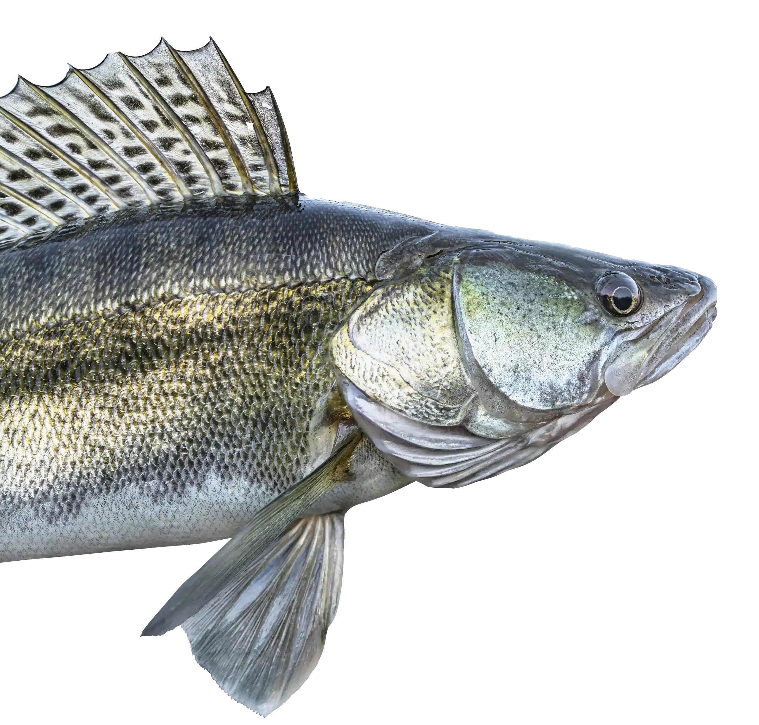
NWT. National Walleye Tour
AIM. Angler’s Insight Marketing
Chili Bowl, Border View Lodge
Arnesen’s, Summer Tournament
River Bend Resort, Ladies tournament
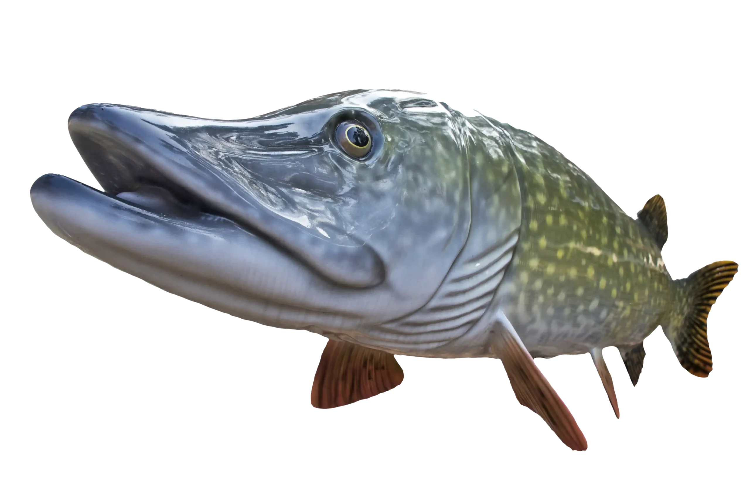
Zippel Bay Resort, Northern Pike Tournament
AND MORE!
Scenic Drives are abundant at Lake of the Woods. While most come to Lake of the Woods for the fishing, it’s also enjoyable to take excursions around the area and enjoy the natural resources here. One of the activities whether you are fishing and go for a drive in the evening or actually come up to enjoy less traffic and a plethora of wildlife is to go for that scenic drive. There are many to choose from.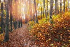
Did you know the Lake of the Woods area is absolutely full of a variety of wildflowers? It is estimated that more than two million orchids along throughout the area. One of the most popular of course is the showy lady slipper. Named the state flower of Minnesota, the showy lady slipper is very rare throughout other parts of the state, but abundant around Lake of the Woods.
There are a number of scenic drives around this beautiful area and the Wildflower Route is certainly one of them. In 1990, Governor Rudy Perpich declared 81 miles of Highway 11 a Minnesota Wildflower Route, in honor of the hundreds of thousands of Showy Lady’s-Slippers 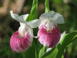
Another of the beautiful scenic drives in the area is the Rapid River Forest Road which is singled out as the best place to enjoy the fall colors. The segment between County Road 7 on the east and Peet’s Bridge on the west parallels the South Branch of the Rapid River for much of its length.
This is the area of Beltrami Island State Forest. Here you will see such varieties of trees such as: birch, aspen, silver maple, black and green ash, Balm of Gilead, bur oak, and basswood. The original Rapid River Road was formed when the south branch of the Rapid River was channelized with a dredge. The dredged soil was leveled and used for a road for the next 60 years. This portion of the road was rerouted in 1986 because the river was nibbling away at the road base. The old road segments make great walking trails along the river. These segments form loops that begin and end on the present road. This is a prime opportunity to view wildlife.
The bog drive follows the Pitt Grade Forest Road from Cty. Rd. 3 on the north to the Rapid River Forest Road on the south. The Pitt Grade was built by leveling the spoil heap left when a drainage ditch was dug through the heart of the bog about 1915.
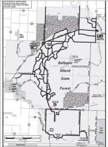
Birdwatchers should watch for Spruce Grouse and Great Gray Owls. Fishermen may wish to try for trout on the north end of the Pitt Grade. The ditch adjacent to the road is a designated trout stream in that area. Bog plants provide a visual feast at certain times of the year. During June there are numerous wildflowers and flowering shrubs that bloom along the road.
The red or Norway Pine will continue to grow vigorously for 100-120 years before its growth slows. It’s valuable for saw timber and poles when mature. Red pine stands are thinned periodically starting at about age 40. Thinning the stand reduces competition for sunlight, moisture, and nutrients for the remaining trees. Old homestead fields throughout the forest were planted with Red Pine by CCC and WPA workers in the 1930’s.
The lure of free land drew people to the Lake of the Woods area after the turn of the century. For the “proving up.” Drive the Faunce Road between the Stoney and the Spina Forest Road to see what those plantations look like today.
The blueberry is a favorite wild summer fruit. It is found as part of the plant community growing on the sandy beach ridges that glacial Lake Agassiz left behind as it retreated northward 10,000 years ago.
Travel the openings along the Bankton Forest Road where there are vestiges of the farm fields left by the homesteaders. The location of the homesite is often marked with a willow tree or lilac bush planted by the settlers. Two cemeteries established by the homesteaders remain along the Bankton Forest Road. Lake of the Woods being so far north creates special opportunities to see variety that you may not see at home. For some, this is a highlight. For others, perhaps a break from fishing. Whatever the case, be sure to bring your camera!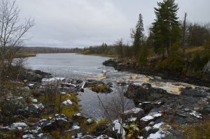
Now, let’s not forget a couple more areas of beauty. Travel to the east along Highway 11 and you will come to Clementson Rapids. It’s a sight to behold. Our local Rotary Club has invested time and monies to 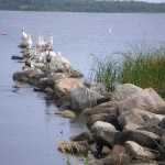
Now let’s go to the furthest point on the continental US. I’m speaking of the Northwest Angle. 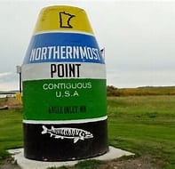
To learn more about Lake of the Woods, check out the Lake of the Woods Tourism website.
To find lodging, check out our lodging page.
Check out our FaceBook page at: www.facebook.com/lakeofthewoodsmn


Lake of the Woods
We firmly believe that the internet should be available and accessible to anyone, and are committed to providing a website that is accessible to the widest possible audience, regardless of circumstance and ability.
To fulfill this, we aim to adhere as strictly as possible to the World Wide Web Consortium’s (W3C) Web Content Accessibility Guidelines 2.1 (WCAG 2.1) at the AA level. These guidelines explain how to make web content accessible to people with a wide array of disabilities. Complying with those guidelines helps us ensure that the website is accessible to all people: blind people, people with motor impairments, visual impairment, cognitive disabilities, and more.
This website utilizes various technologies that are meant to make it as accessible as possible at all times. We utilize an accessibility interface that allows persons with specific disabilities to adjust the website’s UI (user interface) and design it to their personal needs.
Additionally, the website utilizes an AI-based application that runs in the background and optimizes its accessibility level constantly. This application remediates the website’s HTML, adapts Its functionality and behavior for screen-readers used by the blind users, and for keyboard functions used by individuals with motor impairments.
If you’ve found a malfunction or have ideas for improvement, we’ll be happy to hear from you. You can reach out to the website’s operators by using the following email
Our website implements the ARIA attributes (Accessible Rich Internet Applications) technique, alongside various different behavioral changes, to ensure blind users visiting with screen-readers are able to read, comprehend, and enjoy the website’s functions. As soon as a user with a screen-reader enters your site, they immediately receive a prompt to enter the Screen-Reader Profile so they can browse and operate your site effectively. Here’s how our website covers some of the most important screen-reader requirements, alongside console screenshots of code examples:
Screen-reader optimization: we run a background process that learns the website’s components from top to bottom, to ensure ongoing compliance even when updating the website. In this process, we provide screen-readers with meaningful data using the ARIA set of attributes. For example, we provide accurate form labels; descriptions for actionable icons (social media icons, search icons, cart icons, etc.); validation guidance for form inputs; element roles such as buttons, menus, modal dialogues (popups), and others. Additionally, the background process scans all the website’s images and provides an accurate and meaningful image-object-recognition-based description as an ALT (alternate text) tag for images that are not described. It will also extract texts that are embedded within the image, using an OCR (optical character recognition) technology. To turn on screen-reader adjustments at any time, users need only to press the Alt+1 keyboard combination. Screen-reader users also get automatic announcements to turn the Screen-reader mode on as soon as they enter the website.
These adjustments are compatible with all popular screen readers, including JAWS and NVDA.
Keyboard navigation optimization: The background process also adjusts the website’s HTML, and adds various behaviors using JavaScript code to make the website operable by the keyboard. This includes the ability to navigate the website using the Tab and Shift+Tab keys, operate dropdowns with the arrow keys, close them with Esc, trigger buttons and links using the Enter key, navigate between radio and checkbox elements using the arrow keys, and fill them in with the Spacebar or Enter key.Additionally, keyboard users will find quick-navigation and content-skip menus, available at any time by clicking Alt+1, or as the first elements of the site while navigating with the keyboard. The background process also handles triggered popups by moving the keyboard focus towards them as soon as they appear, and not allow the focus drift outside it.
Users can also use shortcuts such as “M” (menus), “H” (headings), “F” (forms), “B” (buttons), and “G” (graphics) to jump to specific elements.
We aim to support the widest array of browsers and assistive technologies as possible, so our users can choose the best fitting tools for them, with as few limitations as possible. Therefore, we have worked very hard to be able to support all major systems that comprise over 95% of the user market share including Google Chrome, Mozilla Firefox, Apple Safari, Opera and Microsoft Edge, JAWS and NVDA (screen readers).
Despite our very best efforts to allow anybody to adjust the website to their needs. There may still be pages or sections that are not fully accessible, are in the process of becoming accessible, or are lacking an adequate technological solution to make them accessible. Still, we are continually improving our accessibility, adding, updating and improving its options and features, and developing and adopting new technologies. All this is meant to reach the optimal level of accessibility, following technological advancements. For any assistance, please reach out to