A reprint from the April, 2023 Issue of MN Flyer Magazine.
Airport of the Month – Northwest Angle Not Exactly an Airport, By Tom Foster
In 1783 the “Treaty of Paris” ended the war between the British and their American Colonies. It also defined the U.S./Canadian border. After consulting a map made by John Mitchel, the diplomats decided the border west of Lake of the Woods would begin at “the most northwestern point thereof, and from thence due west to the Mississippi River.” The map was famous, but not very accurate. Lake of the Woods was pretty much the wrong shape and apparently no
one had any idea where the source of the Mississippi is.
In 1824 the British hired Johann Ludwig Tiarks to figure out where said northwestern point was. Tiarks was a German astronomer and used celestial navigation techniques just like the masters of the day’s sailing ships. By then the source of the Mississippi was known so it was decided the border would start at the northwestern point of the lake then go due south to the 49th parallel which would be the border from there westward. That intersection is in the middle of Big Traverse Bay, but the line passes through some dry land so the Northwest Angle was created as part of the U.S. but without a land connection and with the northern most point in the United States that is not in Alaska. As a result of this epoch geographical misunderstanding, some of the world’s best recreational real estate is in Minnesota instead of Manitoba or Ontario.

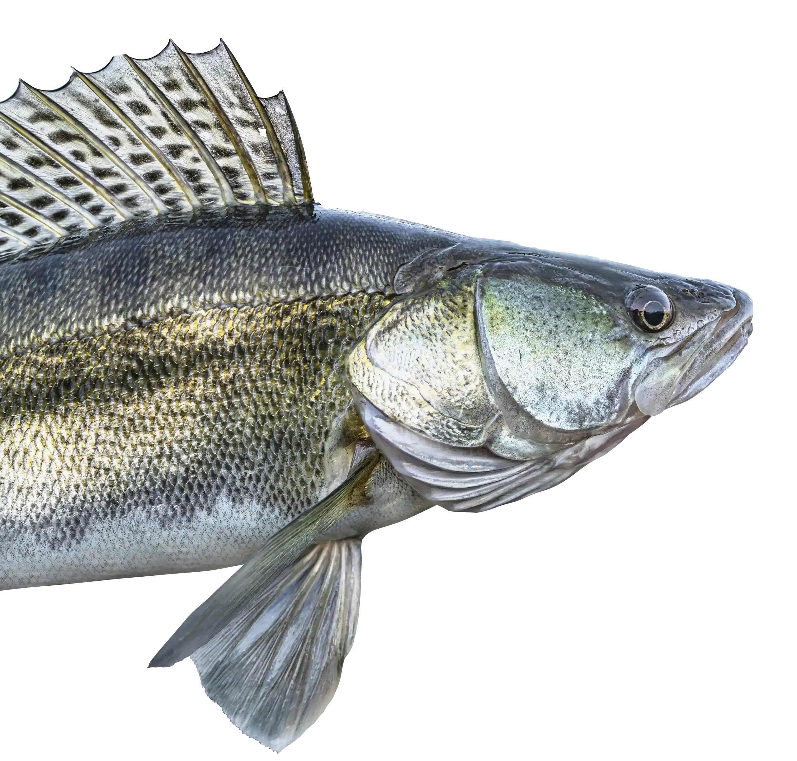
Fifteen resorts are in the “Angle.” They all have docking and buoys for sea planes. Also, some plowed runways on the frozen lake so landing on wheels is possible in the winter. These are all private facilities so be sure to get permission, and check the weather on the Flag Island AWOS since operations are VFR only. There is a full service seaplane base and airport at Baudette on the Rainey River just southeast of the lake where fuel is available.


Going to the Northwest Angle provides the flavor of a trip to a remote part of Alaska that is enhanced by flying there which also saves the aggravation associated with border crossings and a long road trip.
Aviation around the “Angle” is a lot easier now than it was for Don Hanson thanks to the most northern AWOS in the MnDOT system.