I love this Great lake! Many people love this Great lake – Lake of the Woods. This great destination is known all over the United States and Canada because its waters are international. It encompasses both countries with the border going right through the middle of the lake.
This great lake was created when forces of erosion wore down a rocky chain of mountains creating many islands. They are numbered at 14,522 to be exact. The rugged terrain is also known as the Canadian Shield showing beautiful rock formations and beautiful landscapes.
The waters of this great lake flow north and empty into the Hudson Bay. The lake was discovered in 1688 by a great expedition and an explorer named Pierre LaVerendrye. To this day you can visit locations that the early pioneers explored.

Fort St. Charles is the site of the original fortress and fur-trading post erected in 1732 by the French-Canadian voyageurs. This reconstructed fort is on Magnusson’s Island and is open to the public. This is also the official burial site for those explorers who lost their lives on Massacre Island. Local guide services are available for history and fishing adventures in these locations.
Another great spot on the lake is Painted Rock Island located in a channel adjacent to the Northwest Angle just into Ontario. Painted Rock features pictographs on rocks that are estimated to be 900 years old. It is believed that these pictures were made by the early settlers and those paintings were left as historical marks of their life lived on this great lake. An amazing site!!
In 1823 an International Joint Boundary Commission arrived on the lake. Their job was to establish boundaries between the United States and Canada. They were dispatched to find the northernmost point of Lake of the Woods The Commission and surveyors disputed this topic for a century. The final agreement came in the 1920’s and the end result was that the United States retained possession of the Northwest Angle and it also became part of Lake of the Woods County.

This great lake features 65,000 miles of shoreline with two cities located on the United States side – Baudette and Warroad. It is actually the largest fresh water lake next to the Great Lakes in the contiguous United States. This lake hosts over 50 resorts and lodging facilities in Lake of the Woods County itself with great restaurants at the various locations.
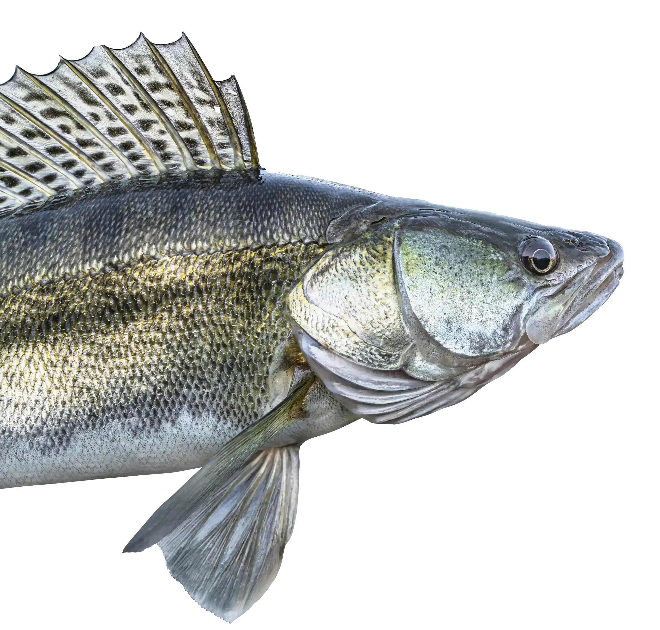
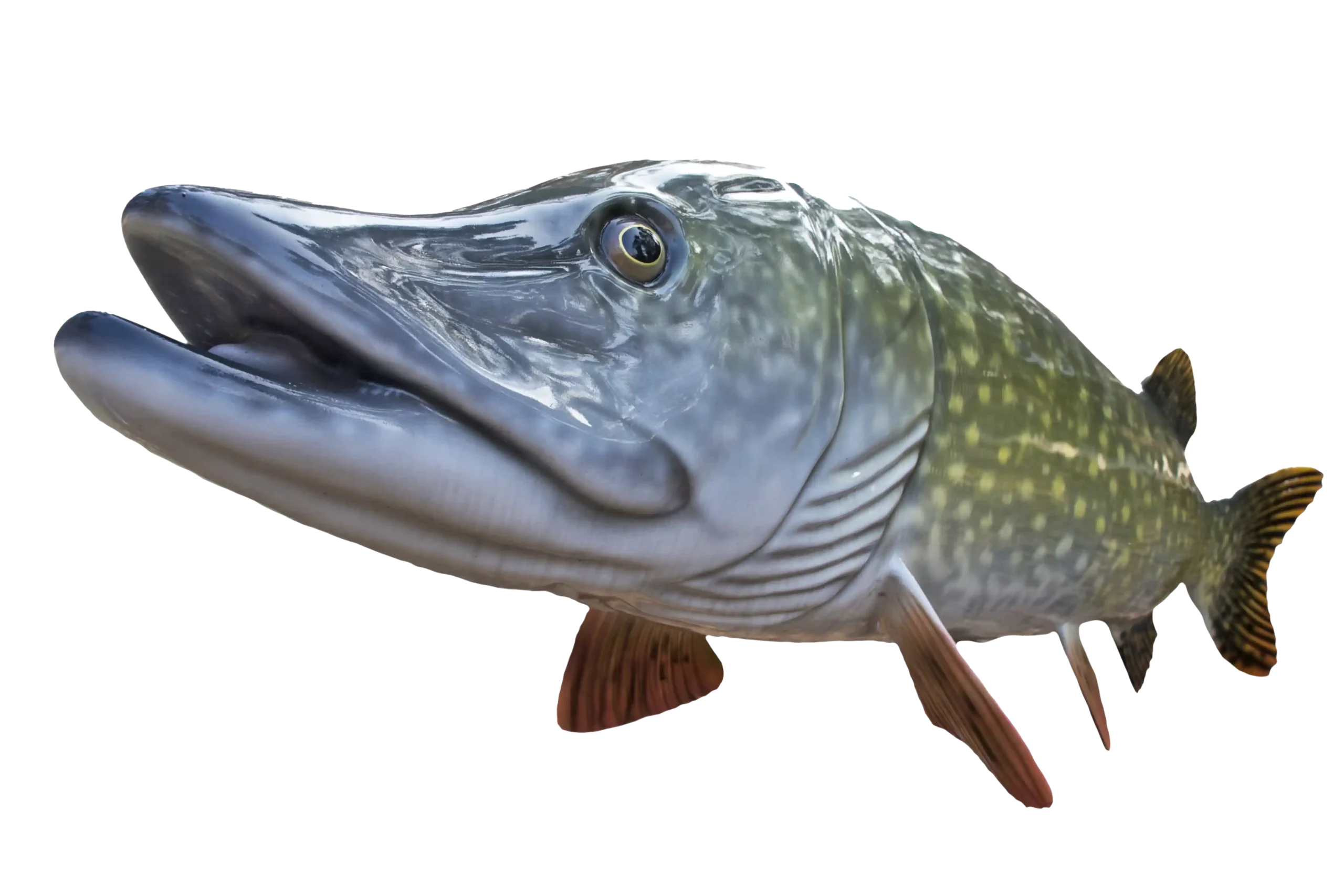
This great lake is known as the Walleye Capital of the World™ and has a world class fishery. Other species of fish beside the famous walleye are black crappies, muskies, northern pike, yellow perch, sauger, lake trout, sturgeon, and smallmouth bass.
Historical sights still adorn this great land as well as beautiful forest areas, state parks an enormous Rainy River, canoe and kayak routes and trails for ATV travel.
Visit sights at www.lakeofthewoodsmn.com and https://lakeofthewoodshistoricalsociety.com/ and also www.lakeofthewoods.mn.us for more information.
Find lodging availability at www.lakeofthewoodsmn.com/lodging.